02The Heliport Atlas
Every heliport in the country, on one map, with the record behind it.
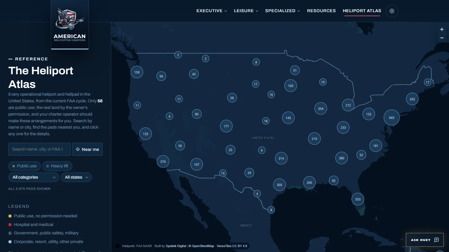
The FAA registers 5,675 operational heliports in the current cycle. Only 56 are open to the public. Before the Heliport Atlas, no public resource showed all of them in one place with the facts a charter planner needs. Now one does. It is the first and only resource of its kind.
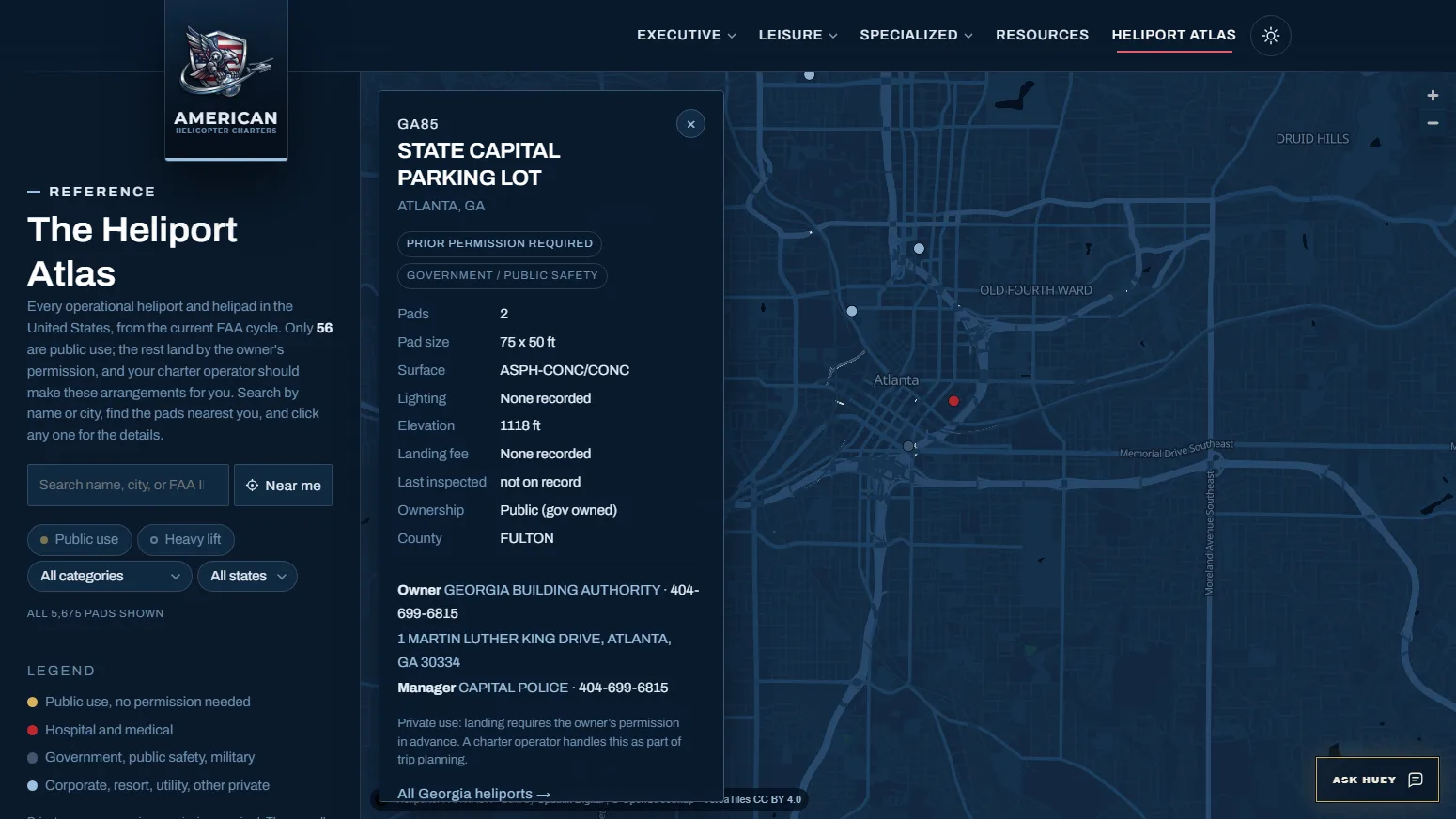
The data pipeline reads the FAA's 28-day NASR cycle directly, so a refresh is a download and one command rather than a hand-built workbook. The result feeds three surfaces at once: a MapLibre map that clusters every pad over a brand-colored vector basemap, a read-only public API for points, detail, search, and nearest-facility queries, and crawlable state, metro, public-use, and hospital pages rendered as real HTML from the same dataset. Each record opens by FAA identifier, carries pads, surface, lighting, elevation, ownership, and the owner contact, and repeats the planning caveat that landing permission comes from the owner, never from a map.
Huey, the site's AI guide on the shared Sputnik chat platform, reads the same API. Give it a ZIP or a city and it adds nearby non-emergency records to a charter referral as planning leads with exact Atlas links. A competitive gap analysis the owner ran with Google Gemini in September 2026 found Google already citing helicoptercharters.us in AI overviews for high-intent queries such as landing permissions on private property, golf resort charters, and FBO tarmac transfers, alongside legacy private jet brokers, on the strength of its operator-informed, non-salesy authority. The Atlas is that authority made inspectable.
Coverage5,675 operational heliports, 56 public use
SourceFAA NASR, refreshed every 28 days
Map engineMapLibre GL over VersaTiles vector tiles
Data servicePHP read-only API, MySQL with SQLite fallback
Crawlable pages55 states, 47 metros, public-use CSV